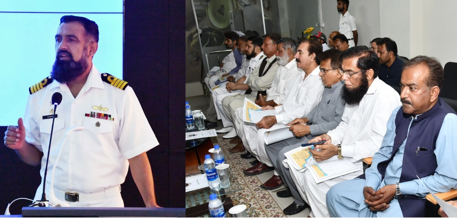
Pakistan Navy provides fishing map to fishermen to enhance safety while fishing

Stay tuned with 24 News HD Android App

Pakistan National Hydrographic Office in coordination with the Institute of Maritime Affairs (NIMA) and WWF-Pakistan distributed an indigenously developed fishing map to local fishermen in Karachi during a ceremony held at the Joint Maritime Information Coordination Centre (JMICC).
The maps are specifically designed to identify ghost nets to support the safe conduct of fishing activities by local fishermen and the preservation of fish in our seas. A ghost net is a fishing net that has been lost or abandoned in the ocean and can pose a significant threat to marine life and the vessels of fishermen.
The indigenously developed fishing map can easily be viewed on open-source Android and IOS-based navigation applications. Copies of the fishing map and mobile application along with its easily understandable installation procedure have been made available to the local fishermen community through JMICC free of charge. This initiative is part of the Office of Hydrographer of Pakistan and Pakistan Navy’s ongoing efforts to support Pakistan’s fishing community and preservation of Pakistan's marine environment.
The fishing map includes vital information such as the precise positions of ghost nets and unsafe fishing areas. This will assist fishermen in making safe manoeuvres at sea. The provision of crucial information about the location of ghost nets will enable fishermen to avoid areas unsuitable for fishing activity and reduce the risk of breakdowns of boats at sea. The map will also help in preserving marine ecosystems by preventing further damage to fish livestock/ species at sea from ghost nets.
